A day on the Routeburn Track
I get a kick every time I tell people how the Routeburn Track got its name.
The Routeburn Track- one of New Zealand’s nine Great Walks- started out as a trail in the 1860s to link the Wakatipu area with the west coast of the South Island. It was the time of the gold rush and the local government wanted to look for a more economical route to transport gold overseas. As word about the trail spread, people began asking for directions.
These queries would have been directed to the local Scotsmen – most of the European settlers back then were from Scotland- and one newcomer had apparently asked someone whether he knew where this track ran. The story goes that the Scotsman replied (and this is when we all get to practice our accents): “Aye, I do. The route goes by the burn, laddie.” ‘Burn’ is the Scottish word for river, and that was how the trail became known as the Routeburn Track. Or so I’ve been told.
The Routeburn is a multi-day hike which runs for 32km and takes three days to walk. My knees hurt a little along the walk but even then I wouldn’t classify the Routeburn as difficult, only moderate. Hikers can start from either the Routeburn Shelter near Glenorchy (45 minutes’ drive from Queenstown) or at The Divide at Te Anau- the details are in this NZ Department of Conservation brochure here. I didn’t have three days to spare so I only hiked for 14km, to and back.
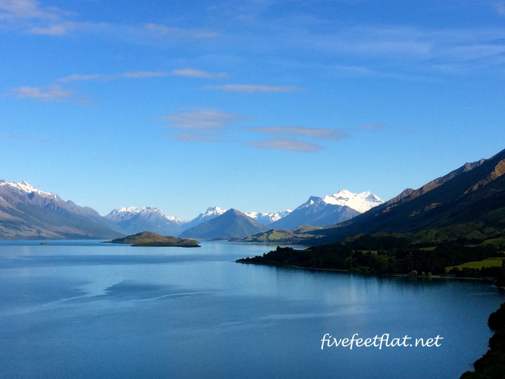
The scenery on the drive from Queenstown to Glenorchy is stunning.
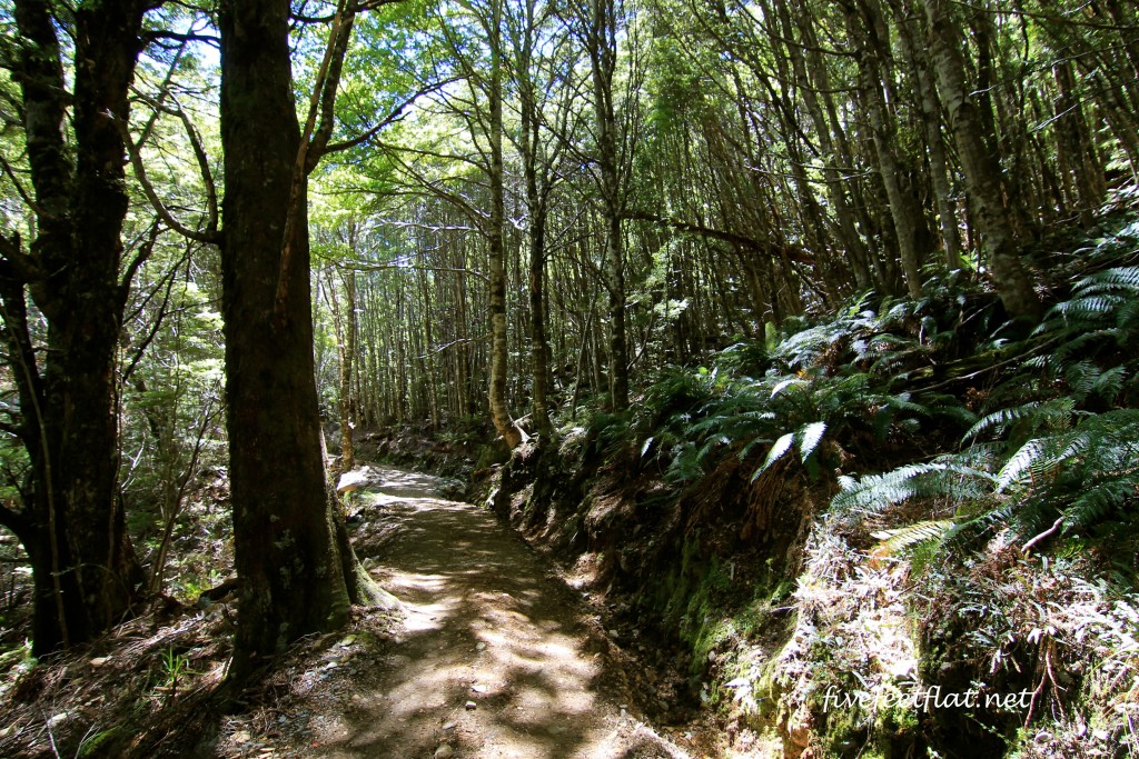
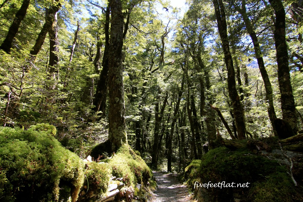
From the Routeburn Shelter, the track opens out to native beech forest, which you’ll walk through for about an hour or so. This part reminded me of the forest scenes in the Lord of the Rings and The Hobbit.
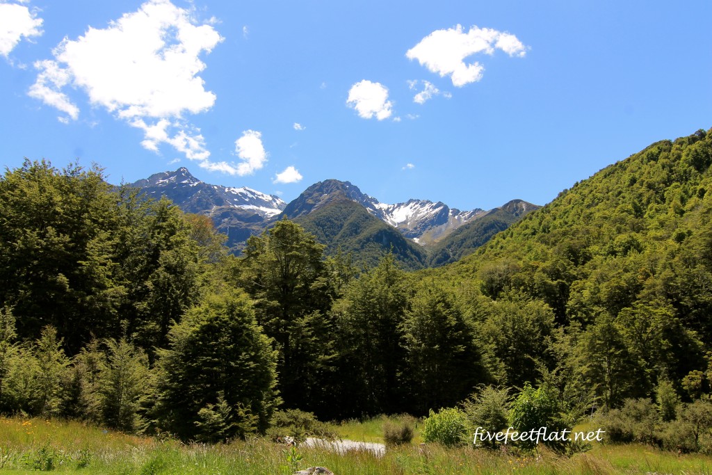
After the first hour or thereabouts the ground will start to climb and the trail will get stony. Many people tend to be preoccupied with where their feet are stepping but once and again you should look up and see what’s happening around you.

The rectangular object on the left of the mound is a possum trap. Possums are a huge problem in New Zealand.

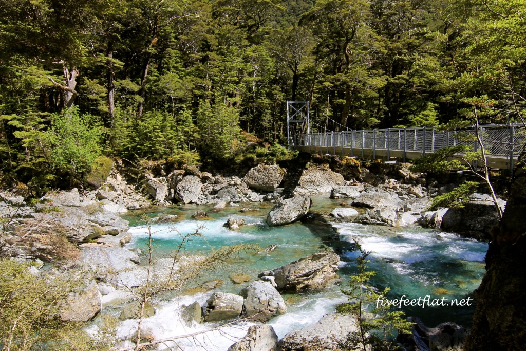
Another view of the Route Burn
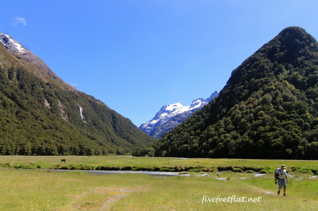
Soon you’ll reach the Routeburn Flats where you’ll be greeted by this rather lovely view. I took a few minutes here to sit on the grass. If you’ve been walking at an average pace, you should reach the Flats hut two hours after setting out.
I turned back the way I came and stopped at Sugarloaf Stream to finish my sandwich, passing a group of foreigners with puzzled and confused looks on their faces. They didn’t look like they were multi-day hikers because their packs weren’t large enough. You’ll pass lots of other hikers along this route. You won’t miss those on the multi-day hikes: they’ll be the ones with the full-size rucksacks and sleeping mats. All the Asian hikers I bumped into seemed to be carrying packs which were absolutely huge, far larger than the other hikers. I felt like stopping them to ask if they were carrying rice cookers or something.
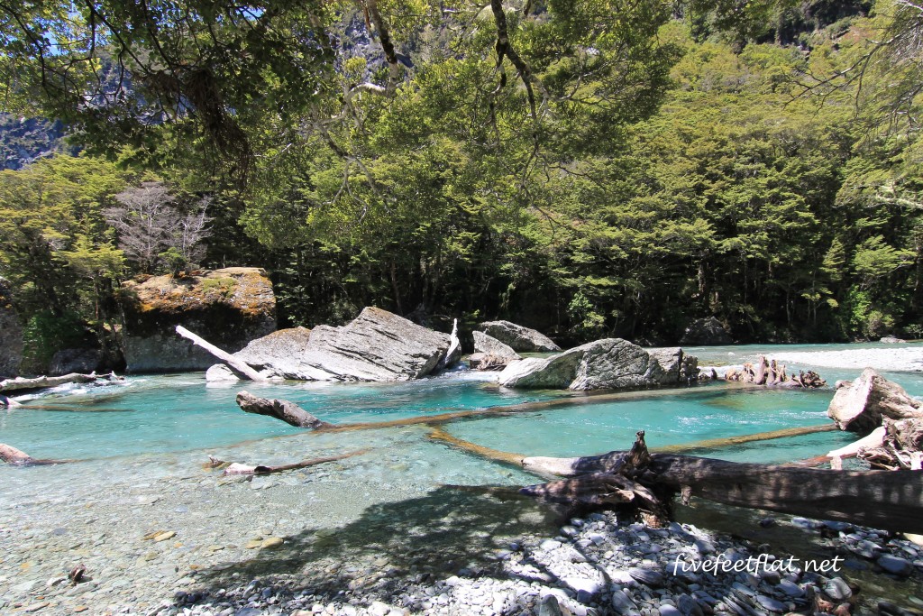
Sugarloaf Stream, where I had a late lunch, was crystal clear. How can you not linger in a place like this?
The thirty minutes I spent at the stream soaking my toes in the water almost convinced me that I should run away from civilisation. I could really live here. I could pitch a tent, bathe here in the mornings and forget about having to deal with traffic and smog. There was absolute silence except for the sounds of the birds around me.
By the time I arrived at the carpark where we had begun our hike, there was a sharp pain in both my knees. Not good at all. I’d like to do the whole Routeburn Track one day but I’ll need to sort out my knees before that.
A group of enthusiastic Japanese hikers that also did the one-day hike had begun to gather, clapping every time their friends arrived one by one. There is something hugely comforting about watching a band of crinkly sixty-year-old men and women decked out in walking poles, wide-brimmed hats and hiking pants. Some of them were thin, some wider in the waist but they all appeared to be fit. I want to be like you guys when I grow up, I thought. Enjoying life and clapping and cheering your friends on.
We left Glenorchy later that afternoon. The sunlight glinted on the surface of Lake Wakatipu, the bright blue water reminding me of that little burn where I had stopped to rest my feet.
*The weather can change anytime you’re out hiking in New Zealand, so bring winter gear even in the summer- it’s been known to snow in the summer higher up along the Routeburn Track.
**The Routeburn Track is 32km long and doable between two – four days. The walking season for 2014-2015 runs from 28 October 2014- 29 April 2015; dates for the 2015-2016 season aren’t up yet so you’ll need to keep an eye on the Department of Conservation (DOC) Great Walks website for updates. As with all the Great Walks, accommodation bookings will need to be made at DOC huts or campsites at this link. Good luck, and happy tramping 🙂
© 2015 – 2016, Anis. All rights reserved.

