Walking the West Highland Way
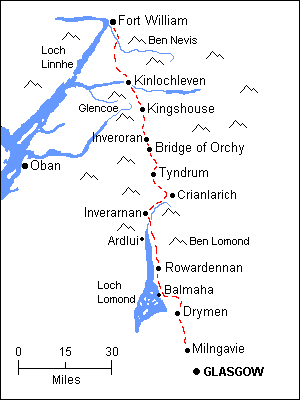
The West Highland Way is Scotland’s most popular long-distance walk. It runs for 96 miles (154.5kms) from a suburb of Glasgow called Milngavie (pronounced ‘mull-guy’), and ends in Fort William in the Scottish Highlands.
The route
I did the West Highland Way in eight days:
Day 1: Milngavie -Drymen (‘drimmen’)
Day 2: Drymen-Rowardennan
Day 3: Rowardenan-Inverarnan via waterbus
Day 4- Inverarnan to Crianlarich
Rest day spent walking (what else!) around Crianlarich
Day 5: Crianlarich- Inveroran
Day 6: Inveroran – Glencoe
Day 7-Glencoe-Kinlochleven
Day 8: Kinlochleven-Fort William.
Days on the West Highland Way (actual distances recorded by my walking app):
Day 1: Milngavie –Drymen (13.7 miles/22 km)
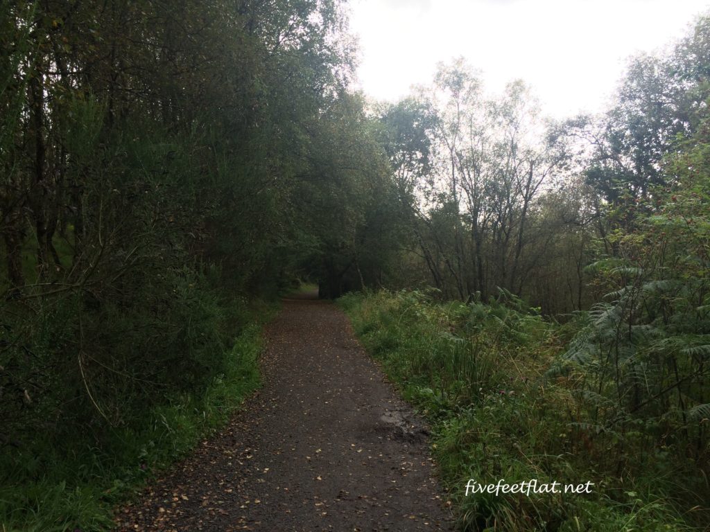
A fairly straightforward walk, flattish in the beginning, although you’ll enter the countryside within two hours of walking. The trail is a gentle and pleasant walk through grassland and a good introduction to the tougher days to come, but missable if you’re short of time.
Public transport: Milngavie is reachable by train from Glasgow, while Drymen is linked via bus service to Milngavie and Glasgow.
Tip: Take an early train from Glasgow on the morning of your walk or spend the night before in Milngavie.
The Compeed sold at the Spar supermarket in Drymen was the cheapest (£4.50) along the entire WHW- stock up on your blister plasters here! Just remember not to remove them after you’ve put them on, let them detach by themselves.
Day 2: Drymen-Rowardennan (14.4 miles/23.1km)
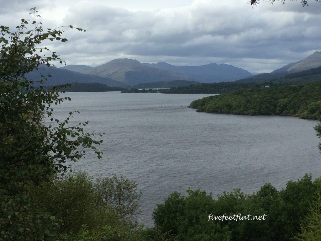
I enjoyed the second day more than the first. You enter a conifer plantation called Garadhban Forest not long after leaving Drymen village and from here, walk to a clearing for your first view of Loch Lomond, Britain’s largest body of water. A little further on you’ll reach a small town called Balmaha which is a good lunch stop. From here, much of the route goes along the shores or runs close to Loch Lomond. It’s an undulating walk, but very scenic. Rowardennan is located right on the shore of the loch.
My feet were sore and in very bad shape at the end of Day 2, made worse by what I did at my hostel that night: I wanted to clean my feet so I tried to remove my plasters but in the process of doing so, tore off some skin.
Public transport: Rowardennan is isolated and has no bus links, only a waterbus or boat to villages like Luss and Tarbet.
Day 3: Rowardenan-Inverarnan (3.1 miles/5km)
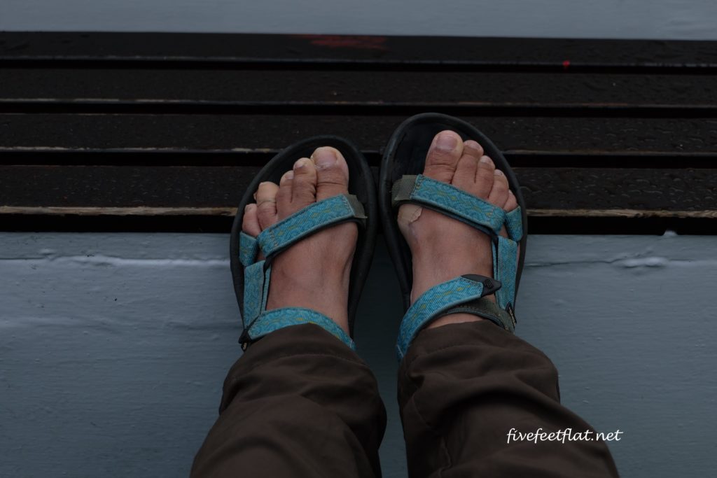
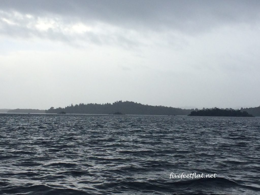
This sector can be divided into two: Rowardennan-Inversnaid, and Inversnaid- Inverarnan, with the second half having the reputation of being more difficult. Following the incident with my plasters the night before (my right foot had swollen by the time I woke up), I changed into my sandals and took the waterbus across Loch Lomond to a village called Luss. From there, I took Citylink bus #915 to Inverarnan.
Day 4- Inverarnan to Crianlarich (9.7 miles/15.6km)
This was a fairly straightforward day of climbing, although it was made eventful by the many stream crossings. Thanks to the non-stop rain the day before, streambeds were muddy and slippery, while some of the larger streams had turned into mini waterfalls and overflowed onto the path. Definitely a good time to make use of those walking poles.
Tip: You have two options on this leg after leaving Inverarnan. If you can’t find accommodation in Tyndrum (‘tyne-drem’), head for Crianlarich. It’s off the West Highland Way but it’s an attractive village with great views of the mountains. Both Tyndrum and Crianlarich have train stations.
Tyndrum has an excellent shop called The Outdoor Store which sells hiking and camping gear, in fact, anything you need for your walk. If you need extra fleeces or socks, this is the place. Go here for more info.
Rest day in Crianlarich: (2.9 miles/4.6km)
I spent my rest day exploring the Mountain Lookout Trail and the Forest Trail, two walks near the village. If you’re in the mood for some challenging climbs, there are two local munros nearby, Ben More and Stob Binnein.
Day 5: Crianlarich- Inveroran (13.7 miles/22.03km)
Return to the West Highland Way by following the path to Tyndrum and from there, you have a choice of heading to either Bridge of Orchy or Inveroran. I enjoyed this walk, which was a combination of old military roads and peaceful forest walks. Gorgeous views of munros along the Way, particularly Beinn Dorainn and Beinn an Dothaidh. My stop for the night was Inveroran on the shores of Loch Tulla.
Public transport: Inveroran is in a remote location in the Highlands and has no public transport links, so you will have to walk to the next stop. If you’d rather not walk, ask your hotel to call a taxi. Otherwise, you’ll need to walk back to Bridge of Orchy which has bus and rail links.
Tip: Accommodation is very limited at Bridge of Orchy and Inveroran, so you’ll need to book months in advance. The good thing is these two hamlets are only 3 miles/5kms apart, so it’s easy to head for the other when you can’t find an empty room.
Day 6: Inveroran – Glencoe (6.4 miles/10.3km)
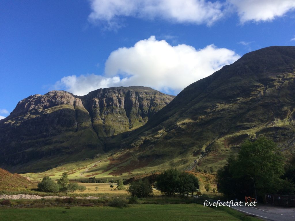
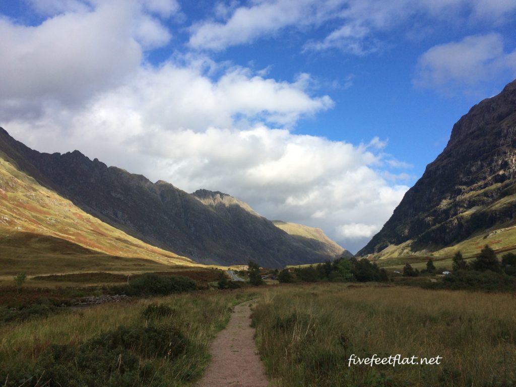
Going to Glencoe was one of the best decisions I made on the Way. Like Crianlarich, Glencoe isn’t on the West Highland Way but worth a stay for its views alone, probably the most beautiful on the walk.
Public transport: To get to Glencoe village, walk from Inveroran to Kingshouse then take bus #914 or #915 from the Glencoe Ski Centre.
It’s possible to walk from Kingshouse to Glencoe but it’s a bit of a trudge- not because of the distance but because much of the route will be on the A82 highway, making it painful on the feet. Give your feet a break, this is a gorgeous walk with some lovely scenery and you’ll still get to enjoy the view from the bus.
Day 7-Glencoe-Kinlochleven (4.1 miles/6.6km)
Get back to the West Highland Way to Kingshouse, where you’ll need to climb on a section called the Devil’s Staircase to get to Kinlochleven. I found out the night before that this was the weekend of the Skyline Scotland mountain races which go through the Devil’s Staircase and Kinlochleven, and not wanting to jostle with racers and walkers I took a bus to Kinlochleven, then did a circular walk towards Kingshouse.
Public transport: To get to Kinlochleven, take bus 44 from Glencoe village.
Day 8: Kinlochleven-Fort William. (16.7 miles/26.9km)
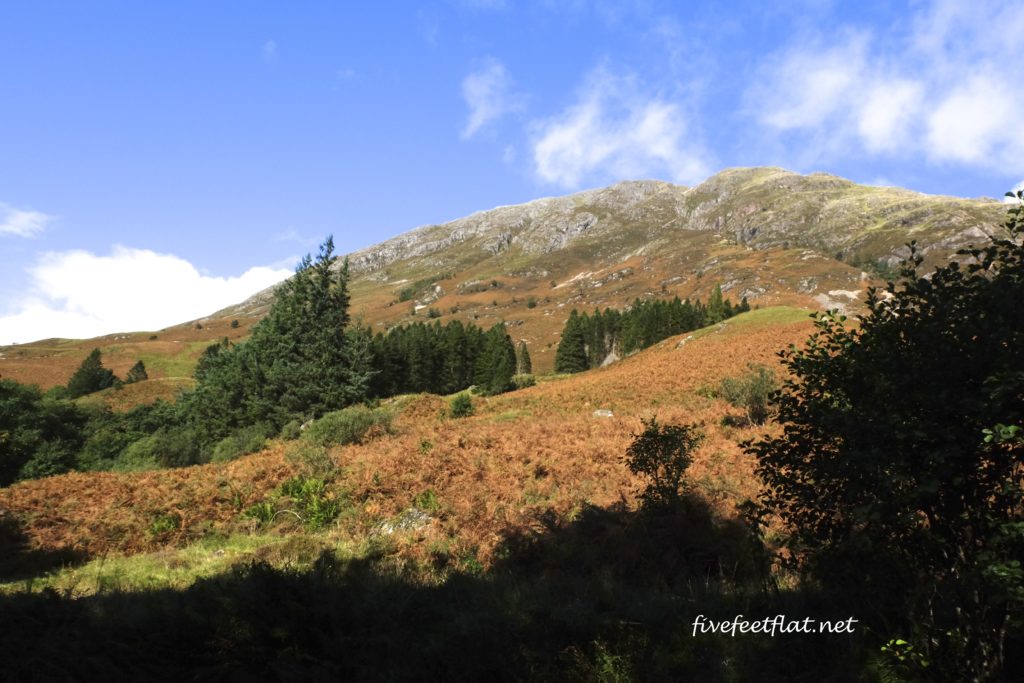
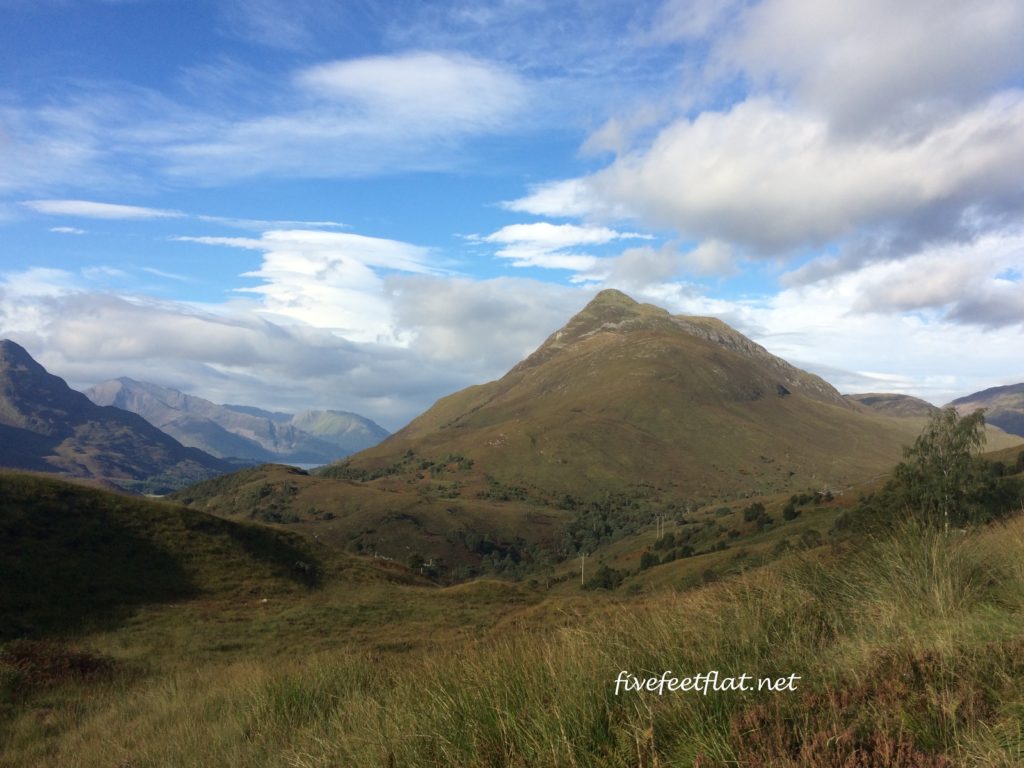
I found the last stretch to be the most challenging, but also the most satisfying. There are no villages between Kinlochleven and Fort William so unless you’re wild camping, you’ll have to complete this in one day. The path begins to climb almost as soon as you exit Kinlochleven, going through a birch forest until you arrive above the tree line for views of Loch Leven and the Pap of Glencoe. After about an hour or so, you’ll reach a wide mountain pass called the Lairigmor, one of the most remote places on the Way. The pass is empty, desolate and exposed, and I was ready to whip out my storm shelter just in case.
On your descent towards Fort William, the route will take you through more forests and down steep, rocky paths, so you’ll need to watch your step. I didn’t enjoy the walk on the pavement into Fort William, but there’s a nice touch at the end of the West Highland Way- you get to take a photo with this guy:
Public transport: Fort William is well connected via rail and bus links to the rest of Scotland, so planning your onward journey shouldn’t be a problem.
Tip: If you’re camping and want to split this day into two, look out for a small lake, Lochan Lunn Da Bhra, to the southeast of an information board along the Way (GPS: N56° 45.081’ W05° 06.507’). I didn’t camp on this walk but if I had and couldn’t go on, I would have stopped at the lake for the night. Another option would be just further up past the same information board- there is a grassy area with trees to the left of the path, comfortable and sheltered enough for a bivvy.
Trip stats:
Total distance of the West Highland Way: 96 miles/154.5km.
Days walked: Eight.
Distance walked: On the WHW: 81.8 miles or 131.6km; Including rest day: 84.7 miles or 136.3km.
How many days will I need?
Some walkers have done the West Highland Way in six days, some in ten days, but most do it in seven. I did it in eight. The number of days you’ll need will depend on two factors: how far you can walk in a day, and the availability of accommodation. Knowing how far you can walk will depend on past walking experience.
The accommodation factor will only affect you in remoter areas and small villages like Bridge of Orchy, Inveroran, and on the last day from Kinlochleven to Fort William where there is nothing in between. Unless you’re camping, you will have to walk until you reach your accommodation for the night.
How difficult is it?
The West Highland Way isn’t overly tough even for someone like me who has a bad back and flat feet. Certain sectors are more challenging than others (steeper climbs and descents: Inversnaid-Inverarnan; Kingshouse- Kinlochleven), while in other sections you can pretty much breeze through (mostly flat: Milngavie-Drymen; Tyndrum-Bridge of Orchy/Inveroran). The West Highland Way isn’t exactly a walk in the park, but I would grade it as moderate and doable if you are reasonably fit.
What if I don’t have seven days?
If you can’t spare a week to do the whole of the West Highland Way, don’t rush through, just do the second half. The best views on the Way are after Tyndrum – if you start from there, you’ll only need four days to reach Fort William. Tyndrum has two train stations: the one you want is Tyndrum Lower.
Is it safe?
Yes, it is. Although I bumped into many fellow walkers while I was out and about, I did the West Highland Way alone. If you’re a solo woman concerned about safety and security on any trail, not just in the UK, remember the following:
Things to bring:
– A whistle, kept within easy reach.
-A compass, but make sure you know how to use it.
– An emergency blanket. A storm shelter would also be useful in Scotland.
– Enough water and food. I carried at least 2L of water every day.
– Proper gear (a base layer, mid-layer and a waterproof shell), waterproof hiking boots with ankle support, and if you think they’ll be useful, hiking poles.
Things to remember:
– Take note of the local emergency services number, particularly trail/mountain rescue services. Otherwise dial 999, which works even when there is no signal.
– Make sure your phone is sufficiently charged as rescue services can still locate you as long as your phone is switched on.
– Have the phone number of your onward accommodation.
-Don’t carry too many things in your backpack. Make use of baggage transfer companies (see below).
-Pay particular attention to your surroundings in remote areas.
Pre-trip preparation:
- Use a baggage transfer company to transport your luggage. When I did the Cleveland Way in 2015, I carried everything on my back, something I would never attempt again. For the West Highland Way, I used Travel-lite but you can choose any of the companies on this list.
- The walking season in Scotland is from mid April-mid October when most hotels and B&Bs will be open. Based on what I’ve read, the Way is busiest in May, July and August so if you don’t like crowds, you may want to avoid this time of the year. I went in September – the weather was cool, the skies were clear when it wasn’t raining and the trail wasn’t too crowded.
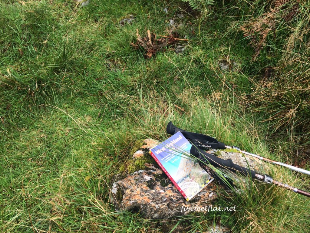
- Read up on the walk and get a good guidebook. For the West Highland Way, I used this guide by Trailblazer, which delivers worldwide for free if you order directly from their website. I didn’t need a map once I had this guidebook.
- Arrive in good time. Don’t make the mistake of misjudging how much time you will need to get to your starting point. When I did the Cleveland Way a year ago, I imagined that getting to Helmsley by public transport would be straightforward from Leeds, and that I would be able to start walking that day itself. By the time I reached Helmsley (via York), it was afternoon so I had to spend the night there and begin my walk the next day. I was much cleverer for the West Highland Way. If you can’t get a lift or an early morning train on the morning of your walk, get there the day before.
Reading material
Apart from the Trailblazer Walking Guide, here’s a list of useful websites to refer to:
The official West Highland Way website
A walk is not a race
Here’s another thing I learnt on long-distance walks: it is perfectly acceptable to skip a section because you can’t or don’t want to walk that day.
I met quite a number of European and British walkers who skipped sections and took buses to the next stop, either because they wanted to spend more time in the next village, had injured themselves and couldn’t go on, or simply didn’t consider a particular sector interesting enough to walk through. This wasn’t exactly a female thing: in Scotland, I encountered three men who either skipped sectors or took shortcuts- they disappeared for a while then miraculously reappeared on the trail a few hours later!
The thing about long walks is that you have to have done them to know what they’re like. Anything can happen on a walk- people change their minds about continuing, or decide to stay longer in a village they particularly like. A long-distance walk is meant to be enjoyable, not a race or competition to see how quickly you can do it.
Final words
Stay safe, watch your step, bring plenty of water, and enjoy yourself!
© 2016 – 2017, Anis. All rights reserved.













nak join lagi walking with youuuu… huk huk
Before that let me try to figure out where to go first 🙂